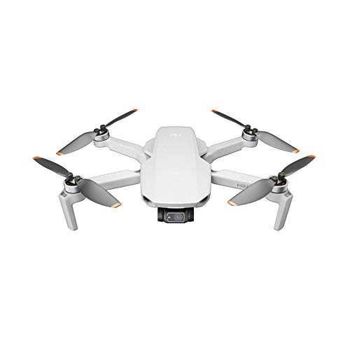
Are you looking for information about DJI maps for your drone flying adventures? DJI, a renowned drone manufacturer, offers different tools and features to enhance your aerial experience, and DJI maps play a crucial role in this.
Understanding DJI Maps
DJI maps provide drone pilots with detailed aerial views and real-time information that can help in flight planning and navigation. These maps are accessible through the DJI GO or DJI Fly app on your mobile device.
Key Features of DJI Maps
The key features of DJI maps include:
- Real-time Flight Restrictions: DJI maps display no-fly zones, temporary flight restrictions, and other airspace limitations to help you abide by regulations.
- Live Traffic: Get information on nearby air traffic to ensure safe and responsible flying.
- Weather Updates: Stay informed about weather conditions in your area to plan flights accordingly.
Using DJI Maps Effectively
To make the most of DJI maps: Use the map view to scout locations, check airspace restrictions, and ensure safe takeoff and landing spots.
Remember that this is informative content from our
Wiki. If you're looking for opinions and experiences from other users, you can visit our
Community. On the other hand, if you're interested in Drones, Accessories, Offers, and Discounts, we recommend you to check out our
Ranking. This article is purely informative and has been generated
thanks to the collaboration between Artificial Intelligence and the active supervision of our team, which is responsible for correcting, structuring, and complementing its content. Although we strive to provide accurate and up-to-date information, errors or omissions may occur. We are not responsible for any decision or action taken as a result of reading this article.
...See more