By using our website, you accept our use of cookies in accordance with our Cookies Policy.


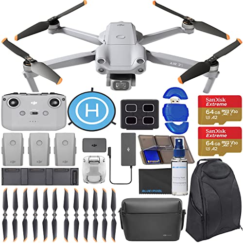
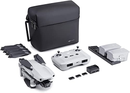
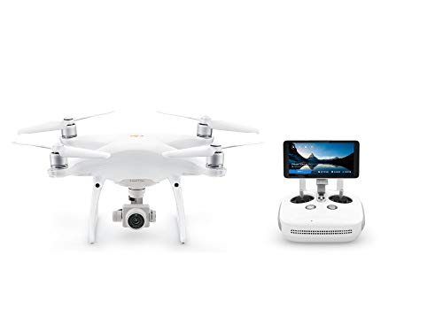
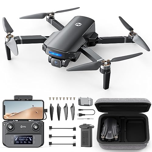
Unmanned Aerial Vehicles (UAVs), commonly known as drones, have revolutionized mapping and surveying processes. UAV mapping involves using drones equipped with cameras and sensors to capture aerial imagery and data that can be processed to create detailed maps and 3D models.
UAV mapping offers significant advantages over traditional mapping methods. Drones can access hard-to-reach areas, collect data more quickly, and provide high-resolution images with exceptional accuracy. This technology is cost-effective and reduces the risk to personnel conducting surveys in challenging environments.
UAV mapping is widely used across various industries, including agriculture, construction, mining, and environmental monitoring. In agriculture, drones can assess crop health and optimize field management practices. In construction, drones can track project progress and monitor site conditions. For mining operations, drones can help with volume calculations and site planning. Environmental monitoring benefits from drones by conducting surveys in remote areas and assessing ecosystem health.
While UAV mapping has many advantages, there are challenges to consider. These include regulatory restrictions on drone flights, data processing complexities, weather conditions affecting flight operations, and the need for skilled personnel to operate drones and interpret mapping data accurately.
The future of UAV mapping is promising, with ongoing technological advancements enhancing drone capabilities for mapping and surveying purposes. As regulations evolve and data processing tools improve, drones will continue to play a crucial role in generating accurate and up-to-date spatial information for a wide range of applications.