By using our website, you accept our use of cookies in accordance with our Cookies Policy.


Drones have revolutionized the way survey aerial mapping is conducted. They provide a cost-effective, efficient, and accurate method of collecting data for mapping large areas.
Using drones for survey aerial mapping enables data collection from various angles and heights that were previously inaccessible. This leads to more detailed and precise mapping results.
.
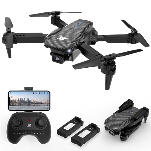
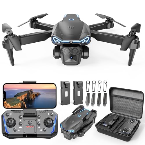
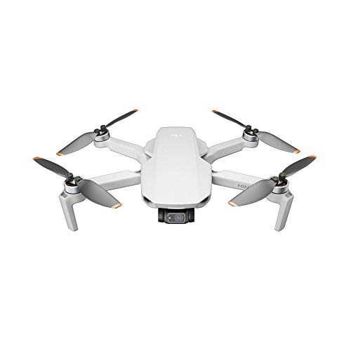
1. Drone: An unmanned aerial vehicle equipped with high-resolution cameras and GPS technology for data collection.
.
2. Software: Specialized mapping software for processing the collected aerial data into usable maps and models.
.
3. Ground Control Points: Markers on the ground used to georeference the aerial images for accurate mapping.
Drone survey aerial mapping is utilized in various industries such as agriculture, construction, environmental monitoring, and urban planning. It provides valuable insights for decision-making and planning.