By using our website, you accept our use of cookies in accordance with our Cookies Policy.


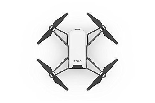
Are you interested in creating your own mapping drone for personal or professional use? Building a DIY mapping drone can be a rewarding project that allows you to customize your UAV according to your specific needs and budget.
DIY mapping drones offer several advantages over off-the-shelf models. You have the freedom to choose the components and software that best suit your mapping requirements. Additionally, building your own drone can be more cost-effective than purchasing a pre-built one.
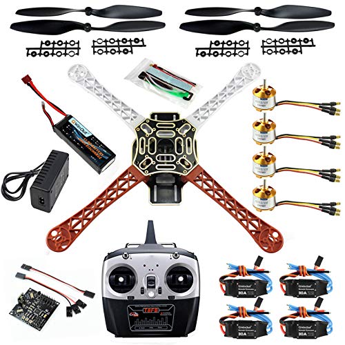
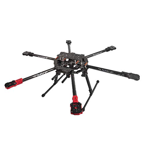
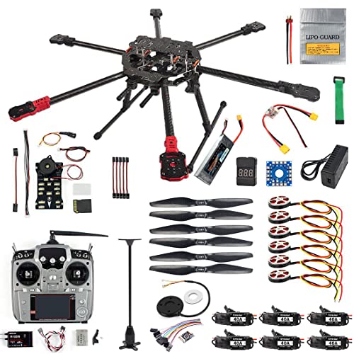
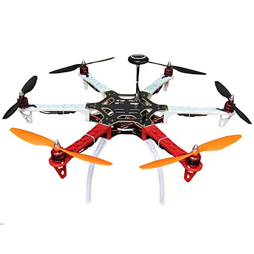
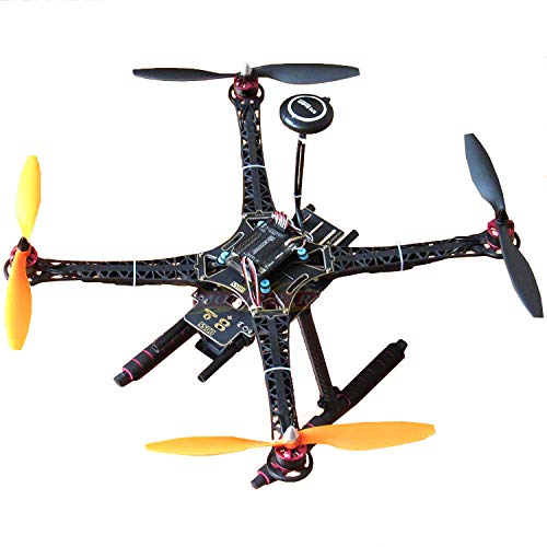
To assemble a mapping drone, you will need basic drone components such as a frame, motors, propellers, flight controller, GPS module, and a camera. Make sure to select high-quality components to ensure the reliability and performance of your UAV.
Once you have assembled your DIY mapping drone, you will need to equip it with the appropriate software and mapping tools. Popular mapping software like Pix4D and DroneDeploy can help you process the aerial data captured by your drone to create detailed maps and 3D models.
Before deploying your mapping drone, it's crucial to plan your flight path to ensure comprehensive coverage of the area you want to map. Pay attention to factors like altitude, overlap, and lighting conditions for optimal data collection.
Once you have collected the aerial data using your DIY mapping drone, you can process it using mapping software to generate accurate maps and models. Take the time to analyze the data to extract valuable insights for your specific application.